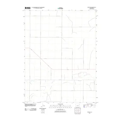
2010 Map of Cope NW
USGS Topo · Published 2010About this map
The Arikaree River and Gordon Creek define the southern landscape of this high plains region in northeastern Colorado. This 2010 USGS survey illustrates a highly structured grid of section lines and rural infrastructure, dominated by the intersection of thoroughfares like County Hwy RR and County Rd 8. The map documents a landscape primarily organized for large-scale agriculture, where the serpentine path of the river breaks the geometric regularity of the county road system. Genealogists and land historians can utilize the precise road labeling, including County Rd 12 and County Rd SS, to locate specific historical family plots or farmstead entries within the Washington County survey system.
Find a feature on this map
18 named features on this map. Tap any name to fly to it.
Don’t see what you’re looking for? This feature index may not catch every label — zoom into the map to look around manually.
Map Details
Editions of this 2010 Cope NW Map
This is the sole edition of this map. No revisions or reprints were ever made.
Other maps of this area

1954 · Limon
USGS Topo · 1:250,000

1957 · Limon
USGS Topo · 1:250,000

1958 · Limon
USGS Topo · 1:250,000

1974 · De Nova SE
USGS Topo · 1:24,000

1977 · Cope
USGS Topo · 1:24,000

1977 · Cope SE
USGS Topo · 1:24,000

1977 · Arickaree
USGS Topo · 1:24,000

1977 · Elba SE
USGS Topo · 1:24,000

1977 · Anton SE
USGS Topo · 1:24,000

1977 · Cope SW
USGS Topo · 1:24,000