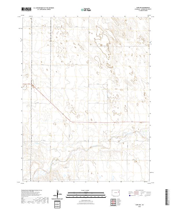
2022 Map of Cope NW
USGS Topo · Published 2022About this map
The Arikaree River flows through this corner of Washington County, winding across a landscape defined by the Public Land Survey System. This 2022 survey captures the expansive, open terrain typical of the High Plains, where the drainage of Gordon Cr feeds into the larger river valley. The region is marked by a strict grid of county roads, including Co Rd 12 and Co Rd 6, which serve the agricultural parcels that dominate the geography. While the area is sparsely populated, the density of the rural road network, from north-south connectors like Co Rd Tt to east-west arteries like Co Rd 8, highlights the organized nature of local ranching and land management in the twenty-first century.
Find a feature on this map
22 named features on this map. Tap any name to fly to it.
Don’t see what you’re looking for? This feature index may not catch every label — zoom into the map to look around manually.
Map Details
Editions of this 2022 Cope NW Map
This is the sole edition of this map. No revisions or reprints were ever made.
Other maps of this area

1954 · Limon
USGS Topo · 1:250,000

1957 · Limon
USGS Topo · 1:250,000

1958 · Limon
USGS Topo · 1:250,000

1974 · De Nova SE
USGS Topo · 1:24,000

1977 · Cope
USGS Topo · 1:24,000

1977 · Cope SE
USGS Topo · 1:24,000

1977 · Arickaree
USGS Topo · 1:24,000

1977 · Elba SE
USGS Topo · 1:24,000

1977 · Anton SE
USGS Topo · 1:24,000

1977 · Cope SW
USGS Topo · 1:24,000