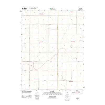
2013 Map of Cope
USGS Topo · Published 2013About this map
Cope sits at the intersection of Us-36 E and Main St in this high plains landscape of eastern Colorado. This 2013 survey by the U.S. Geological Survey captures the town and its surroundings near the border of Washington County and Yuma County. The most significant geographic feature is the Arikaree River, which snakes across the center of the map, cutting a winding path through the township and range grid system.
Find a feature on this map
30 named features on this map. Tap any name to fly to it.
Don’t see what you’re looking for? This feature index may not catch every label — zoom into the map to look around manually.
Map Details
Editions of this 2013 Cope Map
This is the sole edition of this map. No revisions or reprints were ever made.
Other maps of this area

1954 · Limon
USGS Topo · 1:250,000

1957 · Limon
USGS Topo · 1:250,000

1958 · Limon
USGS Topo · 1:250,000
1968 · Joes
USGS Topo · 1:24,000
1974 · De Nova SE
USGS Topo · 1:24,000
1974 · Abarr
USGS Topo · 1:24,000
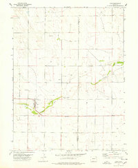
1977 · Cope
USGS Topo · 1:24,000
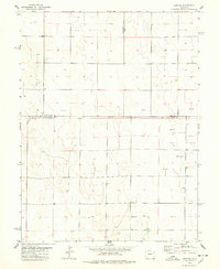
1977 · Cope SE
USGS Topo · 1:24,000
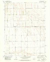
1977 · Cope SW
USGS Topo · 1:24,000
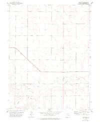
1978 · Cope NW
USGS Topo · 1:24,000