
1974 Map of Copeland
USGS Topo · Published 1977About this map
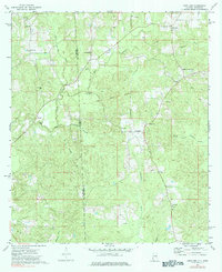
The Old Indian Treaty Boundary slices diagonally across this landscape, marking a historical divide near the Alabama Mississippi state line. In the mid-1970s, the rural character of this border region was defined by small clusters like Copeland and Belmont, with much of the land dedicated to timber and intermittent resource extraction at local sites like the Sandpit. A heavy concentration of community pillars, including Lewis Chapel, Antioch Ch, and Pine Tree Ch, indicates the enduring social fabric of these remote settlements.
Find a feature on this map
31 named features on this map. Tap any name to fly to it.
Don’t see what you’re looking for? This feature index may not catch every label — zoom into the map to look around manually.
Map Details
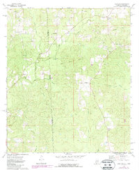
Editions of this 1974 Copeland Map
3 editions found
Other maps of this area

1953 · Hattiesburg
USGS Topo · 1:250,000

1958 · Hattiesburg
USGS Topo · 1:250,000

1964 · Denham
USGS Topo · 1:24,000

1964 · Knobtown
USGS Topo · 1:24,000

1964 · Buckatunna
USGS Topo · 1:24,000

1974 · Millry South
USGS Topo · 1:24,000

1974 · Chatom
USGS Topo · 1:24,000

1974 · State Line
USGS Topo · 1:24,000

1974 · Millry North
USGS Topo · 1:24,000
1974 · Aquilla
USGS Topo · 1:24,000