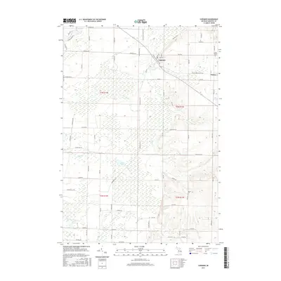
2017 Map of Copemish
USGS Topo · Published 2017About this map
Copemish and the smaller settlement of Pomona anchor this corner of Manistee County, where the village grid meets a landscape defined by glacial hydrology and modern recreation. The route of the Betsie Valley State Trail follows an old railroad alignment diagonally through the township, crossing the Betsie River and several smaller tributaries like Dutchman Cr and First Cr. This transit corridor once linked these timber and agricultural communities to larger markets. To the south, the terrain softens into a concentration of wetlands and water bodies, including Lemon Lake, Lake Salma, and Ball Pond. Genealogists will find the Cleon Township Cem near the northern boundary and the Marilla Cem to the southeast, both providing essential touchstones for families with roots in this part of Michigan.
Find a feature on this map
67 named features on this map. Tap any name to fly to it.
Don’t see what you’re looking for? This feature index may not catch every label — zoom into the map to look around manually.
Map Details
Editions of this 2017 Copemish Map
This is the sole edition of this map. No revisions or reprints were ever made.
Other maps of this area

1954 · Traverse City
USGS Topo · 1:250,000

1954 · Manitowoc
USGS Topo · 1:250,000

1956 · Onekama
USGS Topo · 1:62,500

1956 · Thompsonville
USGS Topo · 1:62,500

1956 · Frankfort
USGS Topo · 1:62,500

1957 · Copemish
USGS Topo · 1:62,500

1958 · Traverse City
USGS Topo · 1:250,000

1958 · Manitowoc
USGS Topo · 1:250,000

1976 · Frankfort SE
USGS Topo · 1:24,000

1976 · Onekama SE
USGS Topo · 1:24,000