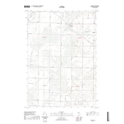
2019 Map of Copemish
USGS Topo · Published 2019About this map
Copemish and the small settlement of Pomona anchor this 2019 survey of the Manistee County landscape, where the northern wetlands meet a network of small creeks and glacial lakes. The Betsie Valley State Trail cuts through the northeast, tracing a historic passage through the terrain near the Betsie River and First Cr. Genealogists will find notable burial sites recorded, including the Cleon Township Cem near the eastern border and Marilla Cem further south. The geography is defined by a series of named water bodies such as Lemon Lake, Ball Pond, and Lake Salma, along with a dense system of seasonal streams like Bear Cr and Dutchman Cr. These features, combined with family-named rural roads, illustrate the modern layout of this timber and agricultural region in northern Michigan.
Find a feature on this map
65 named features on this map. Tap any name to fly to it.
Don’t see what you’re looking for? This feature index may not catch every label — zoom into the map to look around manually.
Map Details
Editions of this 2019 Copemish Map
This is the sole edition of this map. No revisions or reprints were ever made.
Other maps of this area

1954 · Traverse City
USGS Topo · 1:250,000

1954 · Manitowoc
USGS Topo · 1:250,000

1956 · Onekama
USGS Topo · 1:62,500

1956 · Thompsonville
USGS Topo · 1:62,500

1956 · Frankfort
USGS Topo · 1:62,500

1957 · Copemish
USGS Topo · 1:62,500

1958 · Traverse City
USGS Topo · 1:250,000

1958 · Manitowoc
USGS Topo · 1:250,000

1976 · Frankfort SE
USGS Topo · 1:24,000

1976 · Onekama SE
USGS Topo · 1:24,000