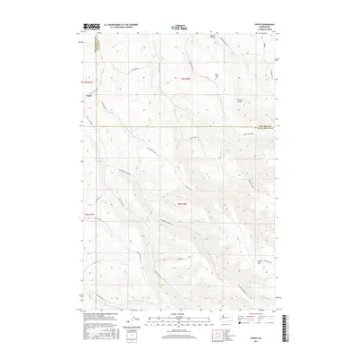
2017 Map of Coppei
USGS Topo · Published 2017About this map
Coppei lies in a landscape defined by the branching drainages of the Blue Mountains foothills, where numerous forks and creeks have carved deep valleys into the plateau. The terrain is characterized by prominent hollows, such as Dustin Hollow and Bundy Hollow, the latter containing the Bundy Hollow Cem. This area serves as a critical watershed for the region, with the N Fork Coppei Cr and S Fork Coppei Cr converging as they flow toward the lowlands. Higher elevations are marked by landmarks like Jasper Mtn, while the boundary between Walla Walla and Columbia counties zigzags across the northern ridges. The network of winding roads, including Whiskey Creek Rd and Jasper Mtn Rd, follows the natural contours of the ridges and valley floors, reflecting a long-standing pattern of rural land use and connectivity between isolated mountain springs and the broader agricultural valley.
Find a feature on this map
36 named features on this map. Tap any name to fly to it.
Don’t see what you’re looking for? This feature index may not catch every label — zoom into the map to look around manually.
Map Details
Editions of this 2017 Coppei Map
This is the sole edition of this map. No revisions or reprints were ever made.
Other maps of this area

1919 · Walla Walla
USGS Topo · 1:125,000

1921 · Walla Walla
USGS Topo · 1:125,000

1937 · Pomeroy
USGS Topo · 1:96,000

1942 · Pomeroy
USGS Topo · 1:125,000

1953 · Walla Walla
USGS Topo · 1:250,000

1955 · Pullman
USGS Topo · 1:250,000

1958 · Pullman
USGS Topo · 1:250,000

1958 · Walla Walla
USGS Topo · 1:250,000

1966 · Dixie
USGS Topo · 1:24,000
1966 · Buroker
USGS Topo · 1:24,000