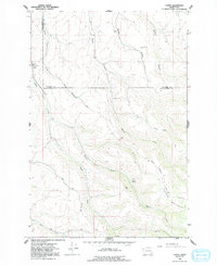
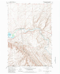
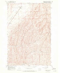
1966 Map of Coppei
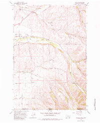
USGS Topo · Published 1992About this map
Coppei and the surrounding agricultural valleys are the focus of this mid-1960s landscape, where grain storage and mountain water management reflect the regional economy. The map traces the winding paths of Wilson Creek and Coppei Creek as they cut through the dividing line between Walla Walla and Columbia Counties. Higher elevations are marked by infrastructure like the Radio Tower near Whisky Creek and remote springs such as Coppei Springs. Small-scale agricultural operations are evident through features like Storage Bins and a Storage Bins Grain Elevator, illustrating the post-war development of local wheat farming and transport networks. Local heritage is further preserved through the documentation of the Bundy Hollow Cem and early access routes like Lewis Peak Road and Barns Road.
Find a feature on this map
24 named features on this map. Tap any name to fly to it.
Don’t see what you’re looking for? This feature index may not catch every label — zoom into the map to look around manually.
Map Details
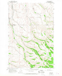
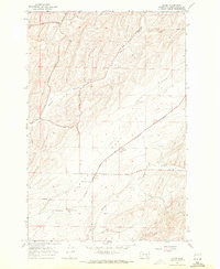
Editions of this 1966 Coppei Map
2 editions found
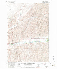
Historical Maps of Coppei Through Time
50 maps found

1915 Wallulah
Walla Walla County, WA
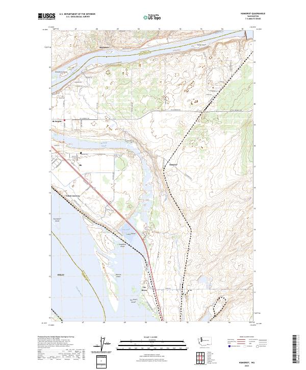
1964 Humorist
Walla Walla County, WA
1964 Slater
Walla Walla County, WA
1964 Zangar Junction
Walla Walla County, WA
1966 Buroker
Walla Walla County, WA
1966 Coppei
Walla Walla County, WA

1966 Elwood
Walla Walla County, WA

1966 Eureka
Walla Walla County, WA

1966 Hadley
Walla Walla County, WA

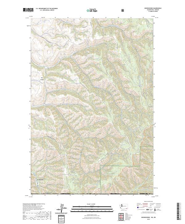
1966 Kooskooskie
Walla Walla County, WA

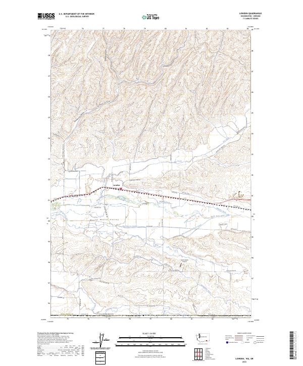
1966 Lowden
Walla Walla County, WA

1966 Page
Walla Walla County, WA

1966 Rulo
Walla Walla County, WA

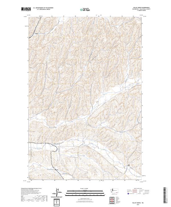
1966 Valley Grove
Walla Walla County, WA

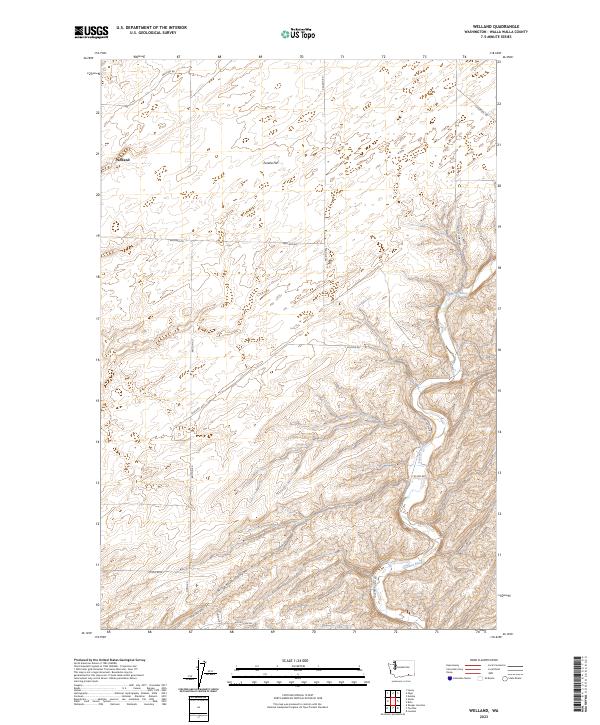
1966 Welland
Walla Walla County, WA
1967 Clyde
Walla Walla County, WA
1967 Harsha
Walla Walla County, WA
1967 Pleasant View
Walla Walla County, WA

1981 Ayer
Walla Walla County, WA

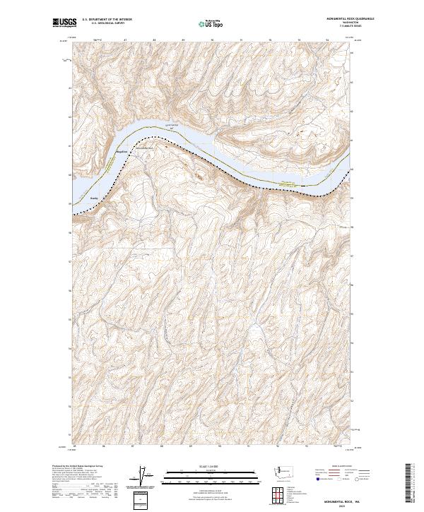
1981 Monumental Rock
Walla Walla County, WA

1991 Elwood
Walla Walla County, WA

1991 Eureka
Walla Walla County, WA

1991 Hadley
Walla Walla County, WA

1991 Lowden
Walla Walla County, WA

1991 Page
Walla Walla County, WA

1991 Rulo
Walla Walla County, WA

1991 Slater
Walla Walla County, WA

1991 Zangar Junction
Walla Walla County, WA

1992 Humorist
Walla Walla County, WA

1992 Welland
Walla Walla County, WA

1995 Kooskooskie
Walla Walla County, WA
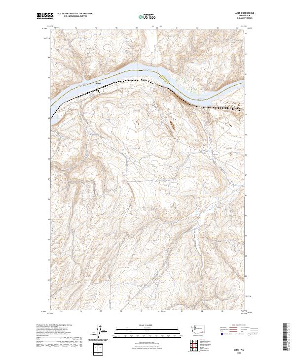
2023 Ayer
Walla Walla County, WA
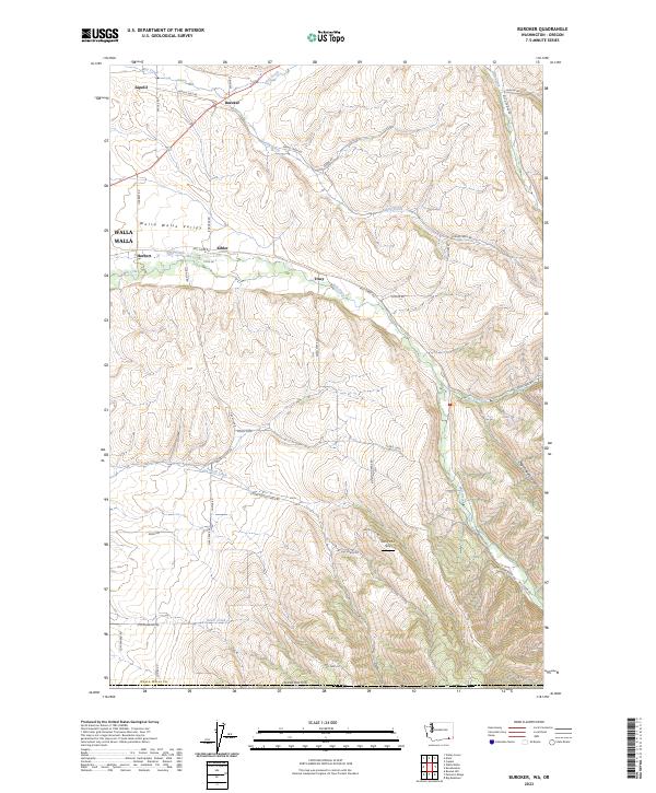
2023 Buroker
Walla Walla County, WA
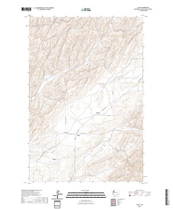
2023 Clyde
Walla Walla County, WA
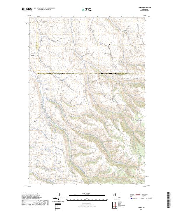
2023 Coppei
Walla Walla County, WA
2023 Elwood
Walla Walla County, WA
2023 Eureka
Walla Walla County, WA

2023 Hadley
Walla Walla County, WA
2023 Harsha
Walla Walla County, WA
2023 Humorist
Walla Walla County, WA
2023 Kooskooskie
Walla Walla County, WA
2023 Lowden
Walla Walla County, WA
2023 Monumental Rock
Walla Walla County, WA
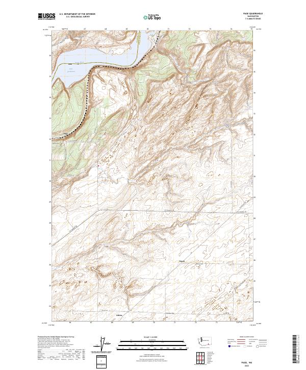
2023 Page
Walla Walla County, WA
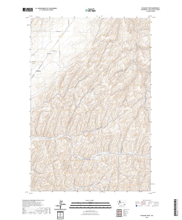
2023 Pleasant View
Walla Walla County, WA
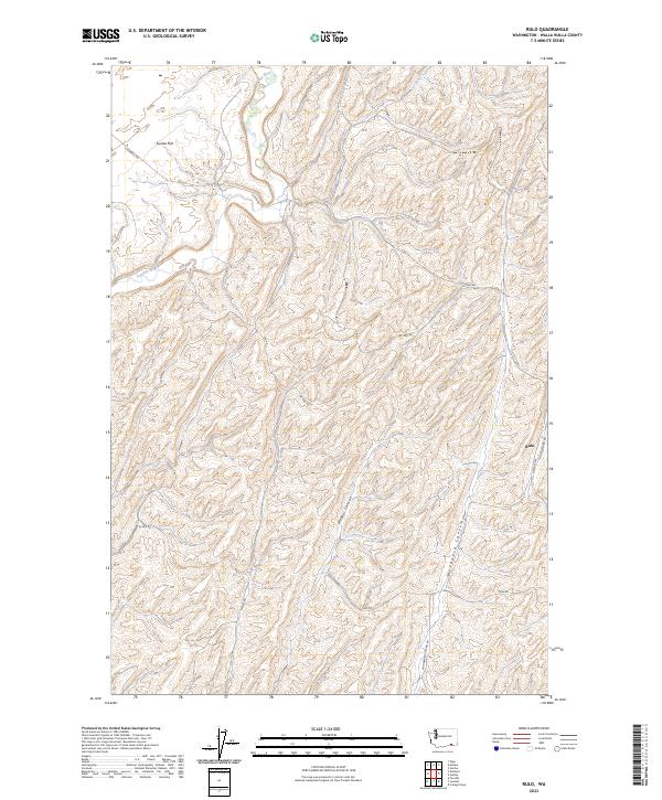
2023 Rulo
Walla Walla County, WA
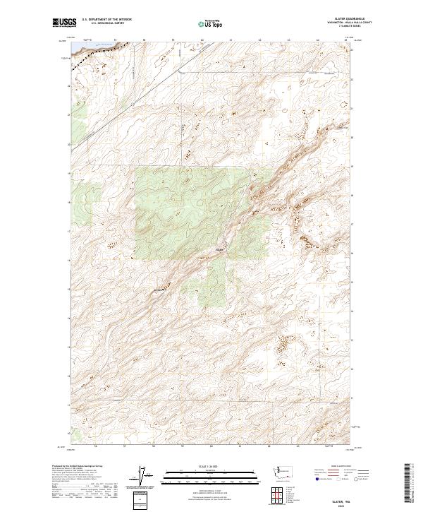
2023 Slater
Walla Walla County, WA
2023 Valley Grove
Walla Walla County, WA
2023 Welland
Walla Walla County, WA

2023 Zangar Junction
Walla Walla County, WA