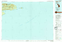
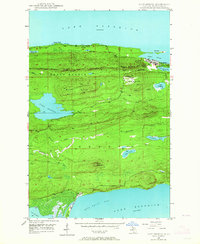
1985 Map of Copper Harbor
USGS Topo · Published 1994About this map
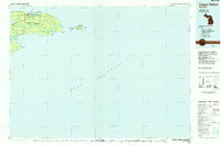
Ft Wilkins State Park stands as a northern sentinel at the tip of the Keweenaw Peninsula, anchoring a landscape defined by the rugged interaction of rock and Lake Superior. This mid-1980s data, updated with 1990s photoinspections, captures the isolated character of the copper country before modern expansion. The map details the transition from the settled hub of Copper Harbor to the wild reaches of Keweenaw Point and Manitou Island. Inland, a network of glacial lakes including Lake Fanny Hooe, Lake Medora, and Lake Addie are cradled between the East Bluff and West Bluff ridges. To the south, the terrain rises toward Mount Houghton before dropping into the waters of Bete Grise Bay. The presence of the Copper Country State Forest highlights the region's enduring timber and conservation heritage, while the lone Lighthouse labels mark the critical maritime hazards of the rocky shoreline.
Find a feature on this map
45 named features on this map. Tap any name to fly to it.
Don’t see what you’re looking for? This feature index may not catch every label — zoom into the map to look around manually.
Map Details
Editions of this 1985 Copper Harbor Map
2 editions found
Other maps of this area

1927 · Point Isabelle
USGS Topo · 1:31,680

1938 · Delaware
USGS Topo · 1:31,680

1939 · Deer Lake
USGS Topo · 1:31,680

1939 · Delaware
USGS Topo · 1:31,680

1940 · Deer Lake
USGS Topo · 1:31,680
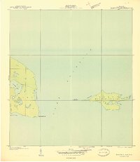
1940 · Manitou Island
USGS Topo · 1:31,680

1940 · Fort Wilkins
USGS Topo · 1:31,680

1940 · Lake Medora
USGS Topo · 1:31,680
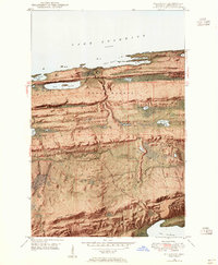
1948 · Delaware
USGS Topo · 1:24,000
1948 · Lake Medora
USGS Topo · 1:24,000