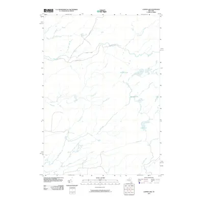
2010 Map of Copper Lake
USGS Topo · Published 2010About this map
Otter Creek and its many tributaries define the hydrology of this Herkimer County landscape, where water drainage patterns dictate the limited human reach into the forest. In the early 21st century, this area of Webb remained largely defined by its intricate network of ponds and named creeks rather than dense settlement. The map reveals a land centered on Copper Lake and its neighbors like Little Pine Lake and West Pine Pond. Transportation is limited to a few arterial routes such as Partridgeville Rd and Ten Mile Rd, which skirt the edges of the wetland systems. The abundance of creatively named water features, including Drunkard Creek and Twin Sister Creek, highlights a long-standing local geography based on wilderness navigation and seasonal watersheds.
Find a feature on this map
19 named features on this map. Tap any name to fly to it.
Don’t see what you’re looking for? This feature index may not catch every label — zoom into the map to look around manually.
Map Details
Editions of this 2010 Copper Lake Map
This is the sole edition of this map. No revisions or reprints were ever made.
Other maps of this area

1905 · Port Leyden
USGS Topo · 1:62,500

1907 · Port Leyden
USGS Topo · 1:62,500

1911 · Lowville
USGS Topo · 1:62,500

1912 · Number Four
USGS Topo · 1:62,500

1912 · Mc Keever
USGS Topo · 1:62,500

1913 · Lowville
USGS Topo · 1:62,500

1915 · Number Four
USGS Topo · 1:62,500

1940 · Port Leyden
USGS Topo · 1:62,500

1950 · Utica
USGS Topo · 1:250,000

1957 · Utica
USGS Topo · 1:250,000