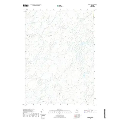
2019 Map of Copper Lake
USGS Topo · Published 2019About this map
Copper Lake and the surrounding wilderness of the Adirondack Park Preserve dominate this high-resolution topography of the western Adirondacks. The landscape is defined by an intricate network of wetlands and minor drainages, where Otter Creek and Pine Cr wind through a series of kettle ponds and small lakes. The terrain is notably sparse of human habitation, with development limited to a few gravel access routes such as Ten Mile Rd and Partridgeville Rd. This lack of infrastructure underscores the region's character as a managed wilderness area.
Find a feature on this map
26 named features on this map. Tap any name to fly to it.
Don’t see what you’re looking for? This feature index may not catch every label — zoom into the map to look around manually.
Map Details
Editions of this 2019 Copper Lake Map
This is the sole edition of this map. No revisions or reprints were ever made.
Other maps of this area

1905 · Port Leyden
USGS Topo · 1:62,500

1907 · Port Leyden
USGS Topo · 1:62,500

1911 · Lowville
USGS Topo · 1:62,500

1912 · Number Four
USGS Topo · 1:62,500

1912 · Mc Keever
USGS Topo · 1:62,500

1913 · Lowville
USGS Topo · 1:62,500

1915 · Number Four
USGS Topo · 1:62,500

1940 · Port Leyden
USGS Topo · 1:62,500

1950 · Utica
USGS Topo · 1:250,000

1957 · Utica
USGS Topo · 1:250,000