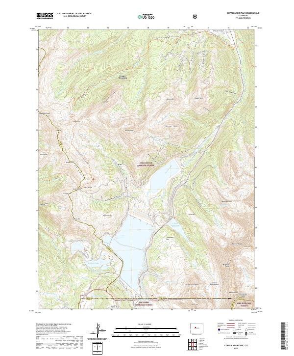
2022 Map of Copper Mountain
USGS Topo · Published 2022About this map
White River National Forest and parts of the San Isabel National Forest and Pike National Forest converge here, centered on the high-altitude divide between the Tenmile Range and the Mosquito Range. The landscape is dominated by mining-era names and water management features like the Clinton Gulch Dam Reservoir and the Chalk Mountain Reservoir. The Continental Divide snakes across the peaks, followed by the Continental Divide National Scenic Trl, which offers a throughway over Jacque Peak and past Searle Pass.
Find a feature on this map
78 named features on this map. Tap any name to fly to it.
Don’t see what you’re looking for? This feature index may not catch every label — zoom into the map to look around manually.
Map Details
Editions of this 2022 Copper Mountain Map
This is the sole edition of this map. No revisions or reprints were ever made.
Other maps of this area

1889 · Leadville
USGS Topo · 1:125,000

1891 · Leadville
USGS Topo · 1:125,000

1929 · Dillon
USGS Topo · 1:62,500

1934 · Climax
USGS Topo · 1:48,000

1934 · Minturn
USGS Topo · 1:62,500

1934 · Dillon
USGS Topo · 1:62,500

1938 · Mt. Lincoln
USGS Topo · 1:48,000

1942 · Leadville
USGS Topo · 1:125,000

1945 · Mount Lincoln
USGS Topo · 1:62,500

1949 · Holy Cross
USGS Topo · 1:62,500