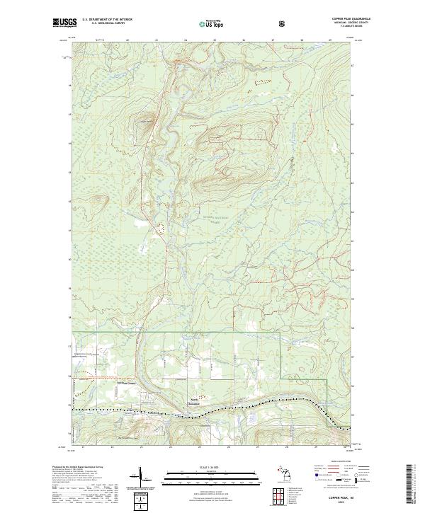
2023 Map of Copper Peak
USGS Topo · Published 2023About this map
Ottawa National Forest dominates this landscape in Gogebic County, where the topography is defined by the sharp descent of the Black Wild and Scenic River toward Lake Superior. The terrain is marked by significant vertical relief, most notably at Copper Peak and Big Powderhorn Mtn. This area serves as a primary corridor for outdoor recreation and aviation, containing the Gogebic/Iron County Airport and an extensive network of Forest Service trails such as Nfst-120 Trl.
Find a feature on this map
80 named features on this map. Tap any name to fly to it.
Don’t see what you’re looking for? This feature index may not catch every label — zoom into the map to look around manually.
Map Details
Editions of this 2023 Copper Peak Map
This is the sole edition of this map. No revisions or reprints were ever made.
Other maps of this area

1943 · Ironwood
USGS Topo · 1:48,000

1953 · Ashland
USGS Topo · 1:250,000

1955 · Ironwood
USGS Topo · 1:24,000

1955 · Bessemer
USGS Topo · 1:24,000

1955 · Wakefield
USGS Topo · 1:24,000

1955 · Wakefield
USGS Topo · 1:62,500

1955 · Ironwood
USGS Topo · 1:62,500

1956 · North Ironwood
USGS Topo · 1:62,500

1956 · Thomaston
USGS Topo · 1:62,500

1958 · Ashland
USGS Topo · 1:250,000