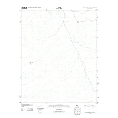
2012 Map of Copper Queen Canyon
USGS Topo · Published 2012About this map
Copper Queen Canyon defines this arid landscape in San Bernardino County, where the topography is shaped by a complex network of dry washes and deep canyons. Published by the U.S. Geological Survey, this 2012 survey documents a largely unpopulated desert region characterized by its drainage patterns and limited access routes. The northeastern portion of the map is marked by the convergence of Goler Canyon and Coyote Canyon, providing a detailed look at the alluvial fans and watercourses that define this part of the Mojave Desert. Transportation is restricted to primitive tracks, most notably Wingate Rd and Coyote Canyon Rd, which navigate the northern terrain. The absence of settlements or structures underscores the area's remote nature, making this a clear record of the physical geography before any modern expansion or land-use changes.
Find a feature on this map
5 named features on this map. Tap any name to fly to it.
Don’t see what you’re looking for? This feature index may not catch every label — zoom into the map to look around manually.
Map Details
Editions of this 2012 Copper Queen Canyon Map
This is the sole edition of this map. No revisions or reprints were ever made.
Other maps of this area

1915 · Searles Lake
USGS Topo · 1:250,000

1947 · Trona
USGS Topo · 1:250,000

1948 · Trona
USGS Topo · 1:250,000

1949 · Trona
USGS Topo · 1:62,500

1949 · Searles Lake
USGS Topo · 1:62,500

1950 · Searles Lake
USGS Topo · 1:62,500

1950 · Trona
USGS Topo · 1:62,500

1950 · Manly Peak
USGS Topo · 1:62,500

1950 · Wingate Pass
USGS Topo · 1:62,500

1951 · Wingate Pass
USGS Topo · 1:62,500