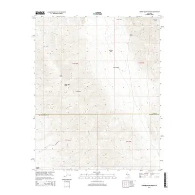
2015 Map of Copper Queen Canyon
USGS Topo · Published 2015About this map
Copper Queen Canyon serves as a focal point for this landscape where the Slate Range meets the Panamint Range. The terrain is defined by a series of steep drainage systems, including Goler Canyon, Goff Canyon, and Bundy Canyon, which carve through the high elevations. The boundary between Inyo and San Bernardino Counties runs through the central portion of the map, marking a transition between the northern Panamint Valley and the southern Searles Valley. While much of the area remains undeveloped within the Mojave Desert, the presence of Standard Mine Rd indicates the legacy of resource extraction in these mountains. This survey details the complex topography and public land survey system divisions, such as t24s r44e and t25s r45e, which organize this corner of the California desert.
Find a feature on this map
16 named features on this map. Tap any name to fly to it.
Don’t see what you’re looking for? This feature index may not catch every label — zoom into the map to look around manually.
Map Details
Editions of this 2015 Copper Queen Canyon Map
This is the sole edition of this map. No revisions or reprints were ever made.
Other maps of this area

1915 · Searles Lake
USGS Topo · 1:250,000

1947 · Trona
USGS Topo · 1:250,000

1948 · Trona
USGS Topo · 1:250,000

1949 · Trona
USGS Topo · 1:62,500

1949 · Searles Lake
USGS Topo · 1:62,500

1950 · Searles Lake
USGS Topo · 1:62,500

1950 · Trona
USGS Topo · 1:62,500

1950 · Manly Peak
USGS Topo · 1:62,500

1950 · Wingate Pass
USGS Topo · 1:62,500

1951 · Wingate Pass
USGS Topo · 1:62,500