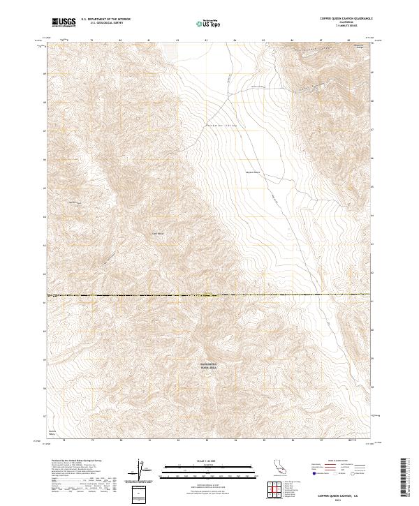
2021 Map of Copper Queen Canyon
USGS Topo · Published 2021About this map
Panamint Valley and the neighboring Mojave Desert define this arid landscape, where the Slate Range and Panamint Range create a complex system of alluvial fans and deep washes. The map documents the extreme topography of the Inyo Co San Bernardino Co border, highlighting the transition between these two prominent California basins. Remote access routes like Wingate Rd and Coyote Canyon Rd skirt the edges of deep drainages such as Goler Canyon and Coyote Canyon. Of particular interest to desert historians is Copper Queen Canyon, a name that suggests the region's mineral prospecting past, alongside Bundy Canyon in the western highlands. To the southwest, the terrain descends toward Searles Valley, illustrating the typical basin-and-range structure of this part of the California desert.
Find a feature on this map
15 named features on this map. Tap any name to fly to it.
Don’t see what you’re looking for? This feature index may not catch every label — zoom into the map to look around manually.
Map Details
Editions of this 2021 Copper Queen Canyon Map
This is the sole edition of this map. No revisions or reprints were ever made.
Other maps of this area

1915 · Searles Lake
USGS Topo · 1:250,000

1947 · Trona
USGS Topo · 1:250,000

1948 · Trona
USGS Topo · 1:250,000

1949 · Trona
USGS Topo · 1:62,500

1949 · Searles Lake
USGS Topo · 1:62,500

1950 · Searles Lake
USGS Topo · 1:62,500

1950 · Trona
USGS Topo · 1:62,500

1950 · Manly Peak
USGS Topo · 1:62,500

1950 · Wingate Pass
USGS Topo · 1:62,500

1951 · Wingate Pass
USGS Topo · 1:62,500