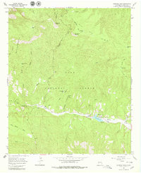
1965 Map of Copperas Peak
USGS Topo · Published 1979About this map
Copperas Peak and Buck Hannen Mountain anchor the high elevations of this mid-1960s survey, overlooking a landscape defined by the drainage of Sapillo Creek and Salt Creek. The map documents a transition in land use, showing established recreation sites like Lake Roberts alongside signs of earlier enterprise such as the Meerschaum Mine and a Gravel Pit. The southern portion of the sheet is dominated by Wild Horse Mesa, where the topography drops toward Trout Creek.
Find a feature on this map
38 named features on this map. Tap any name to fly to it.
Don’t see what you’re looking for? This feature index may not catch every label — zoom into the map to look around manually.
Map Details
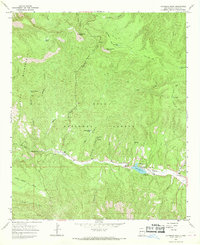
Editions of this 1965 Copperas Peak Map
2 editions found
Other maps of this area

1909 · Silver City
USGS Topo · 1:125,000

1911 · Alum Mountain
USGS Topo · 1:125,000

1913 · Alum Mountain
USGS Topo · 1:125,000

1947 · Allie Canyon
USGS Topo · 1:24,000

1947 · Twin Sisters
USGS Topo · 1:24,000

1948 · Twin Sisters
USGS Topo · 1:24,000

1948 · Allie Canyon
USGS Topo · 1:24,000

1950 · Reading Mountain
USGS Topo · 1:24,000
1952 · Reading Mountain
USGS Topo · 1:24,000

1954 · Silver City
USGS Topo · 1:250,000