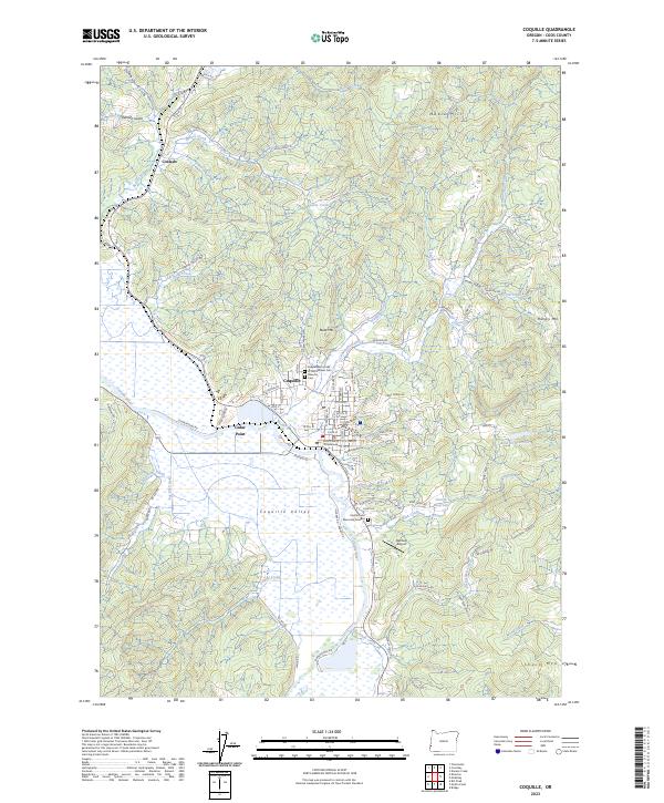
2023 Map of Coquille
USGS Topo · Published 2023About this map
Coquille serves as the focal point of this region, situated where the northern hills meet the broad, wetland-heavy expanse of the Coquille Valley. The town's civic importance is anchored by the Coos County Courthouse, while its local heritage is preserved in the Independent Order of Odd Fellows Cem and the Masonic Cem located near the northern edge of the settlement. The surrounding landscape is defined by a complex network of waterways, including Beaver Sloughs and Cunningham Creek, which weave through the lowlands south of Budd Mtn.
Find a feature on this map
94 named features on this map. Tap any name to fly to it.
Don’t see what you’re looking for? This feature index may not catch every label — zoom into the map to look around manually.
Map Details
Editions of this 2023 Coquille Map
This is the sole edition of this map. No revisions or reprints were ever made.
Other maps of this area

1896 · Coos Bay
USGS Topo · 1:125,000

1898 · Coos Bay
USGS Topo · 1:125,000

1900 · Coos Bay
USGS Topo · 1:125,000

1942 · Empire
USGS Topo · 1:62,500

1942 · Coquille
USGS Topo · 1:62,500

1942 · Coos Bay
USGS Topo · 1:62,500

1943 · Bandon
USGS Topo · 1:62,500

1944 · Empire
USGS Topo · 1:62,500

1944 · Bandon
USGS Topo · 1:62,500

1945 · Coquille
USGS Topo · 1:62,500