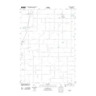
2011 Map of Coral
USGS Topo · Published 2011About this map
Coral and Pierson anchor the eastern and western edges of this Montcalm County landscape, reflecting the classic township-and-range settlement patterns of rural Michigan. The community of Coral is centered around its Post Office and Coral Cemetery, while Pierson maintains its own Post Office near the southwestern corner of the sheet. Between these hubs, smaller named locales like Maple Hill and Hiram are connected by a grid of rural roads such as Kendaville Rd and Coral Rd.
Find a feature on this map
80 named features on this map. Tap any name to fly to it.
Don’t see what you’re looking for? This feature index may not catch every label — zoom into the map to look around manually.
Map Details
Editions of this 2011 Coral Map
This is the sole edition of this map. No revisions or reprints were ever made.
Other maps of this area

1918 · Cedar Springs
USGS Topo · 1:62,500

1943 · Cedar Springs
USGS Topo · 1:62,500

1954 · Midland
USGS Topo · 1:250,000

1958 · Midland
USGS Topo · 1:250,000

1958 · Sand Lake
USGS Topo · 1:62,500

1959 · Midland
USGS Topo · 1:250,000

1959 · Howard City
USGS Topo · 1:62,500

1966 · Midland
USGS Topo · 1:250,000

1967 · Cedar Springs
USGS Topo · 1:24,000

1972 · Greenville West
USGS Topo · 1:24,000