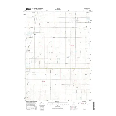
2014 Map of Coral
USGS Topo · Published 2014About this map
Coral and Pierson anchor this agricultural and lake-dotted region of West Michigan at the border of Montcalm and Kent counties. The landscape is defined by its numerous small basins and glacial drainage systems, including Spruce Lake, Picnic Lake, and Ward Lake, which are connected by waterways like Black Cr and the Lovett and Cody Drain. Genealogists will find several burial grounds across the township lines, notably Coral Cem, Coady Cem, and Saint Marys Cem. The settlement pattern follows a rigid section grid typical of the Midwest, punctuated by historic locales such as Maple Hill and Hiram. Water management is evident through engineered features like Herron Drain Number One and Sand Lake Drain, which facilitate drainage through the undulating terrain of Cheney Hills and the surrounding lowlands.
Find a feature on this map
56 named features on this map. Tap any name to fly to it.
Don’t see what you’re looking for? This feature index may not catch every label — zoom into the map to look around manually.
Map Details
Editions of this 2014 Coral Map
This is the sole edition of this map. No revisions or reprints were ever made.
Other maps of this area

1918 · Cedar Springs
USGS Topo · 1:62,500

1943 · Cedar Springs
USGS Topo · 1:62,500

1954 · Midland
USGS Topo · 1:250,000

1958 · Midland
USGS Topo · 1:250,000

1958 · Sand Lake
USGS Topo · 1:62,500

1959 · Midland
USGS Topo · 1:250,000

1959 · Howard City
USGS Topo · 1:62,500

1966 · Midland
USGS Topo · 1:250,000

1967 · Cedar Springs
USGS Topo · 1:24,000

1972 · Greenville West
USGS Topo · 1:24,000