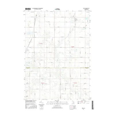
2017 Map of Coral
USGS Topo · Published 2017About this map
Coral serves as the central hub of this modern survey, where the grid of Mill St, Oak St, and Grove St marks the small-town core. The surrounding countryside reflects a landscape defined by water management and transit, featuring an extensive network of drainage systems like the Lovett and Coady Drain and Sand Lake Drain. These channels weave between high points such as Maple Hill and the Cheney Hills, illustrating the agricultural and topographical engineering of the region.
Find a feature on this map
95 named features on this map. Tap any name to fly to it.
Don’t see what you’re looking for? This feature index may not catch every label — zoom into the map to look around manually.
Map Details
Editions of this 2017 Coral Map
This is the sole edition of this map. No revisions or reprints were ever made.
Other maps of this area

1918 · Cedar Springs
USGS Topo · 1:62,500

1943 · Cedar Springs
USGS Topo · 1:62,500

1954 · Midland
USGS Topo · 1:250,000

1958 · Midland
USGS Topo · 1:250,000

1958 · Sand Lake
USGS Topo · 1:62,500

1959 · Midland
USGS Topo · 1:250,000

1959 · Howard City
USGS Topo · 1:62,500

1966 · Midland
USGS Topo · 1:250,000

1967 · Cedar Springs
USGS Topo · 1:24,000

1972 · Greenville West
USGS Topo · 1:24,000