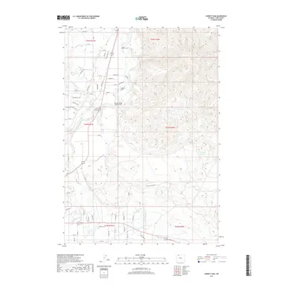
2017 Map of Corbett Dam
USGS Topo · Published 2017About this map
The Corbett Dam and Corbett Tunnel anchor this landscape, representing a sophisticated system of water management in the arid Park County basin. The Shoshone River serves as the primary artery for the region, feeding into intricate irrigation channels such as Lateral H-71 and Lateral H-65. These man-made improvements stand in contrast to the natural drainages of Penney Gulch, Rough Gulch, and Dry Gulch, which carve through the high terrain. The road network, including Mc McCullough Rd and River Ridge Rd, suggests a pattern of rural development focused on the river's resources. Small water bodies like Buttercup Reservoir and seasonal courses such as Sage Cr and Spring Cr illustrate the hydrological complexity required to support local land use in this part of Wyoming.
Find a feature on this map
66 named features on this map. Tap any name to fly to it.
Don’t see what you’re looking for? This feature index may not catch every label — zoom into the map to look around manually.
Map Details
Editions of this 2017 Corbett Dam Map
This is the sole edition of this map. No revisions or reprints were ever made.
Other maps of this area

1911 · Oregon Basin
USGS Topo · 1:62,500

1913 · Oregon Basin
USGS Topo · 1:62,500

1949 · Cody
USGS Topo · 1:62,500

1951 · Cody
USGS Topo · 1:62,500

1955 · Cody
USGS Topo · 1:250,000

1957 · Devils Tooth
USGS Topo · 1:62,500

1958 · Cody
USGS Topo · 1:250,000

1962 · Cody
USGS Topo · 1:250,000

1966 · Stone Barn Camp
USGS Topo · 1:24,000

1966 · Corbett Dam
USGS Topo · 1:24,000