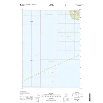
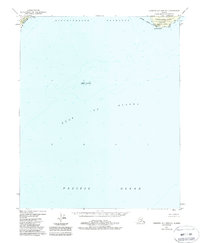
2018 Map of Cordova A-8 NE
USGS Topo · Published 2018About this map
Hinchinbrook Island occupies the northeastern corner of this coastal Alaska survey, representing a rugged interface where the Chugach National Forest meets the open sea. This territory is characterized by steep island terrain and the convergence of two major water bodies: Prince William Sound to the north and the expansive Gulf of Alaska to the south.
Find a feature on this map
8 named features on this map. Tap any name to fly to it.
Don’t see what you’re looking for? This feature index may not catch every label — zoom into the map to look around manually.
Map Details
Editions of this 2018 Cordova A-8 NE Map
This is the sole edition of this map. No revisions or reprints were ever made.
Other maps of this area

1948 · Cordova
USGS Topo · 1:250,000

1950 · Cordova B-7
USGS Topo · 1:63,360

1951 · Cordova
USGS Topo · 1:250,000

1951 · Cordova B-8
USGS Topo · 1:63,360
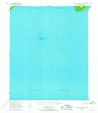
1951 · Cordova A-7 and A-8
USGS Topo · 1:63,360

1953 · Cordova B-7
USGS Topo · 1:63,360
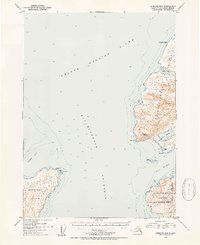
1953 · Cordova B-8
USGS Topo · 1:63,360
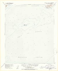
1953 · Cordova A-7 and A-8
USGS Topo · 1:63,360

1959 · Cordova
USGS Topo · 1:250,000
1988 · Cordova A-7 and A-8
USGS Topo · 1:63,360