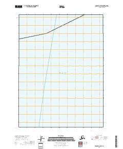
2018 Map of Cordova A-8 SW
USGS Topo · Published 2018About this map
The Gulf of Alaska dominates this 2018 survey, which focuses on the maritime expanse of the Cordova A-8 SW quadrangle. Produced by the U.S. Geological Survey, the map provides a precise layout of open water and the nautical boundary within the Valdez-Cordova Census Area. While largely a coastal and hydrographic record, it serves as a foundational baseline for modern nautical studies and environmental monitoring of the Alaskan coastline.
Find a feature on this map
1 named feature on this map. Tap any name to fly to it.
Don’t see what you’re looking for? This feature index may not catch every label — zoom into the map to look around manually.
Map Details
Editions of this 2018 Cordova A-8 SW Map
This is the sole edition of this map. No revisions or reprints were ever made.
Other maps of this area

1946 · Blying Sound
USGS Topo · 1:250,000

1948 · Cordova
USGS Topo · 1:250,000

1948 · Middleton Island
USGS Topo · 1:250,000

1950 · Middleton Island
USGS Topo · 1:250,000

1951 · Blying Sound
USGS Topo · 1:250,000

1951 · Seward
USGS Topo · 1:250,000

1951 · Cordova
USGS Topo · 1:250,000

1951 · Seward A-1
USGS Topo · 1:63,360
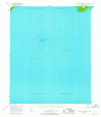
1951 · Cordova A-7 and A-8
USGS Topo · 1:63,360

1953 · Seward A-1
USGS Topo · 1:63,360