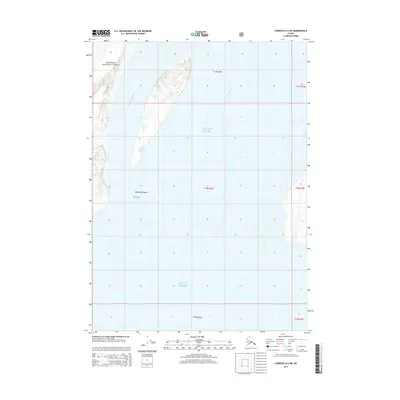
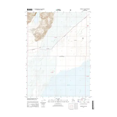
2014 Map of Cordova B-3 SW
USGS Topo · Published 2014About this map
The bend of the Green River defines the landscape of Ohio County in this 1954 survey, where the town of Rockport serves as a key crossing point for both the Illinois Central and Louisville and Nashville Railroad. Mining activity is prominent throughout the quadrangle, notably at the Ken Mine (Strip Mine) and various other strip mines that mark the terrain between Echols and Horton. Local history is preserved in numerous rural landmarks, including Mount Pisgah Cem, Reid Cem, and New Cypress Ch. The river's influence is evident in the surrounding wetlands, such as Thompson Pond and Cypress Slough, which frame the agricultural and industrial character of the region. This map illustrates a mid-century Kentucky landscape shaped by coal extraction and river commerce.
Find a feature on this map
12 named features on this map. Tap any name to fly to it.
Don’t see what you’re looking for? This feature index may not catch every label — zoom into the map to look around manually.
Map Details
Editions of this 2014 Cordova B-3 SW Map
This is the sole edition of this map. No revisions or reprints were ever made.
Other maps of this area

1948 · Cordova
USGS Topo · 1:250,000

1951 · Cordova
USGS Topo · 1:250,000

1951 · Cordova B-4
USGS Topo · 1:63,360

1952 · Cordova B-3
USGS Topo · 1:63,360

1953 · Cordova B-3
USGS Topo · 1:63,360

1959 · Cordova
USGS Topo · 1:250,000
1988 · Cordova A-3
USGS Topo · 1:63,360
1988 · Cordova A-4
USGS Topo · 1:63,360
1994 · Cordova B-4
USGS Topo · 1:63,360
2014 · Cordova B-3 NW
USGS Topo · 1:25,000