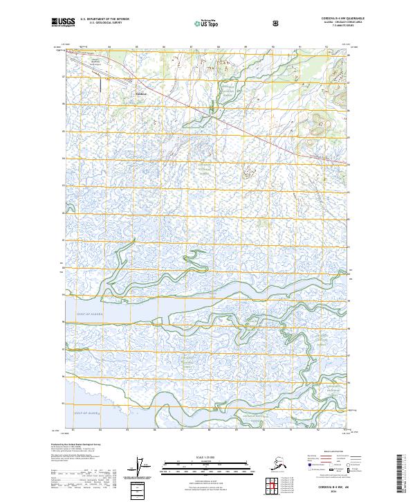
2024 Map of Cordova B-4 NW
USGS Topo · Published 2024About this map
The Merle K (Mudhole) Smith Airport serves as a critical transportation hub in this coastal Alaskan landscape, situated just east of the Cordova settlement area. The terrain is defined by a complex network of glacial meltwater and tidal channels, where the Sheridan River and Glacier River flow southward toward the Gulf of Alaska. These waterways weave through the extensive wetlands of the Chugach National Forest, creating a dynamic environment of sloughs and cutoffs.
Find a feature on this map
18 named features on this map. Tap any name to fly to it.
Don’t see what you’re looking for? This feature index may not catch every label — zoom into the map to look around manually.
Map Details
Editions of this 2024 Cordova B-4 NW Map
This is the sole edition of this map. No revisions or reprints were ever made.
Other maps of this area

1948 · Cordova
USGS Topo · 1:250,000

1950 · Cordova C-4
USGS Topo · 1:63,360

1951 · Cordova
USGS Topo · 1:250,000

1951 · Cordova B-4
USGS Topo · 1:63,360

1951 · Cordova C-5
USGS Topo · 1:63,360

1951 · Cordova B-5
USGS Topo · 1:63,360

1953 · Cordova B-5
USGS Topo · 1:63,360

1953 · Cordova C-4
USGS Topo · 1:63,360

1953 · Cordova C-5
USGS Topo · 1:63,360

1959 · Cordova
USGS Topo · 1:250,000