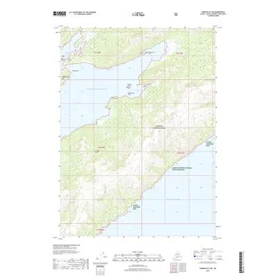
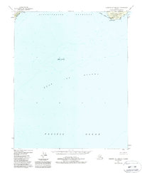
2018 Map of Cordova B-7 SW
USGS Topo · Published 2018About this map
Prince William Sound dominates the center of this coastal survey, where the protected waters of Port Etches meet a complex shoreline of points and islands. The northern landscape is defined by the sheltered Constantine Harbor, flanked by Bocharov Island and Phipps Point. This area reflects the deep maritime history of the region, where indigenous place names like Naucestaarwikcak Point and Qengnaswik Point exist alongside Spanish-influenced labels such as Punta de la Cruz, tracing different eras of exploration and contact.
Find a feature on this map
28 named features on this map. Tap any name to fly to it.
Don’t see what you’re looking for? This feature index may not catch every label — zoom into the map to look around manually.
Map Details
Editions of this 2018 Cordova B-7 SW Map
This is the sole edition of this map. No revisions or reprints were ever made.
Other maps of this area

1948 · Cordova
USGS Topo · 1:250,000

1950 · Cordova B-7
USGS Topo · 1:63,360

1951 · Cordova
USGS Topo · 1:250,000

1951 · Cordova B-8
USGS Topo · 1:63,360
1951 · Cordova A-7 and A-8
USGS Topo · 1:63,360

1953 · Cordova B-7
USGS Topo · 1:63,360
1953 · Cordova B-8
USGS Topo · 1:63,360
1953 · Cordova A-7 and A-8
USGS Topo · 1:63,360

1959 · Cordova
USGS Topo · 1:250,000
1988 · Cordova A-7 and A-8
USGS Topo · 1:63,360