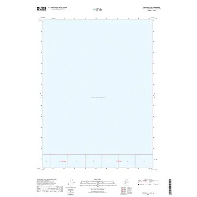
2018 Map of Cordova B-8 NW
USGS Topo · Published 2018About this map
Prince William Sound dominates this coastal maritime survey, providing a focused view of the open waters within the Valdez-Cordova Census Area. This chart is primarily a hydrographic study, showing the vast expanse of the sound as it appeared in the early 21st century. The map is defined by its sparse inland detail, focusing instead on the aquatic geography and the established township and range lines of the Public Land Survey System, specifically t3n r14e and t3n r15e. It serves as a clear record of the maritime boundaries and survey divisions in this part of the Alaskan coastline, offering a specific look at the geographic grid without the overlay of terrestrial settlements or landmarks.
Find a feature on this map
3 named features on this map. Tap any name to fly to it.
Don’t see what you’re looking for? This feature index may not catch every label — zoom into the map to look around manually.
Map Details
Editions of this 2018 Cordova B-8 NW Map
This is the sole edition of this map. No revisions or reprints were ever made.
Other maps of this area

1948 · Cordova
USGS Topo · 1:250,000

1950 · Cordova C-8
USGS Topo · 1:63,360

1951 · Seward
USGS Topo · 1:250,000

1951 · Cordova
USGS Topo · 1:250,000

1951 · Seward B-1
USGS Topo · 1:63,360

1951 · Seward C-1
USGS Topo · 1:63,360

1951 · Cordova B-8
USGS Topo · 1:63,360

1952 · Seward C-1
USGS Topo · 1:63,360

1952 · Seward B-1
USGS Topo · 1:63,360

1952 · Cordova C-8
USGS Topo · 1:63,360