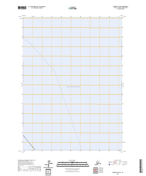
2024 Map of Cordova B-8 NW
USGS Topo · Published 2024About this map
Prince William Sound dominates this coastal survey, where the marine landscape of the Chugach Census Area meets the open water. The map focuses almost entirely on the aquatic expanse, with the only land identifiers being the cadastral survey lines of the Public Land Survey System, specifically t3n r14e and t3n r15e. This 2024 edition reflects the modern hydrographic and imagery data standards of the U.S. Geological Survey, providing a clear demarcation of the maritime territory within this region of Alaska. The absence of terrestrial settlements or landmarks emphasizes the maritime character of the area, making it a distinct reference for coastal navigation and the study of official township and range boundaries along the Alaskan coastline.
Find a feature on this map
3 named features on this map. Tap any name to fly to it.
Don’t see what you’re looking for? This feature index may not catch every label — zoom into the map to look around manually.
Map Details
Editions of this 2024 Cordova B-8 NW Map
This is the sole edition of this map. No revisions or reprints were ever made.
Other maps of this area

1948 · Cordova
USGS Topo · 1:250,000

1950 · Cordova C-8
USGS Topo · 1:63,360

1951 · Seward
USGS Topo · 1:250,000

1951 · Cordova
USGS Topo · 1:250,000

1951 · Seward B-1
USGS Topo · 1:63,360

1951 · Seward C-1
USGS Topo · 1:63,360

1951 · Cordova B-8
USGS Topo · 1:63,360

1952 · Seward C-1
USGS Topo · 1:63,360

1952 · Seward B-1
USGS Topo · 1:63,360

1952 · Cordova C-8
USGS Topo · 1:63,360