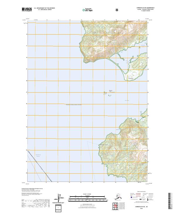
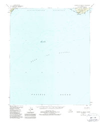
2024 Map of Cordova B-8 SE
USGS Topo · Published 2024About this map
Prince William Sound defines the western expanse of this coastal landscape, where the sea meets the steep elevations of the Chugach National Forest. The geography is dominated by deep inlets and strategic maritime landmarks, including the sheltered waters of Port Etches and Constantine Harbor. These harbors historically provided critical refuge for vessels navigating the Hinehinbrook Entrance, the primary gateway into the sound. The terrain rises sharply from the shoreline to heights such as Signal Mtn, while coastal features like Bear Cape, Point Barber, and Punta de San Carlos delineate the complex coastline. This environment reflects a wilderness state where navigation is dictated by the natural contours of the bays and the presence of hazards like Porpoise Rocks.
Find a feature on this map
19 named features on this map. Tap any name to fly to it.
Don’t see what you’re looking for? This feature index may not catch every label — zoom into the map to look around manually.
Map Details
Editions of this 2024 Cordova B-8 SE Map
This is the sole edition of this map. No revisions or reprints were ever made.
Other maps of this area

1948 · Cordova
USGS Topo · 1:250,000

1950 · Cordova B-7
USGS Topo · 1:63,360

1951 · Cordova
USGS Topo · 1:250,000

1951 · Cordova B-8
USGS Topo · 1:63,360
1951 · Cordova A-7 and A-8
USGS Topo · 1:63,360

1953 · Cordova B-7
USGS Topo · 1:63,360
1953 · Cordova B-8
USGS Topo · 1:63,360
1953 · Cordova A-7 and A-8
USGS Topo · 1:63,360

1959 · Cordova
USGS Topo · 1:250,000
1988 · Cordova A-7 and A-8
USGS Topo · 1:63,360