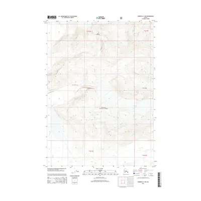
2014 Map of Cordova C-2 SW
USGS Topo · Published 2014About this map
The glacial landscape of the Chugach National Forest dominates this topographic study, where ice and elevation define the geography. Rising sharply from the surrounding terrain, Goat Mountain serves as a central landmark for the area, with the Goat Mountain Trail providing a designated route through the high country. The presence of massive ice fields is notable, with the Miles Glacier visible in the northeast and the McPherson Glacier positioned further south. These features, along with the drainage of Sheep Cr, illustrate the dynamic natural processes and severe topography of this portion of the Unorganized Borough. The map provides a precise look at the township and range divisions across the district, including parts of t14s r4e, t15s r4e, and t16s r4e, illustrating the scale of land management in the Alaskan wilderness.
Find a feature on this map
12 named features on this map. Tap any name to fly to it.
Don’t see what you’re looking for? This feature index may not catch every label — zoom into the map to look around manually.
Map Details
Editions of this 2014 Cordova C-2 SW Map
This is the sole edition of this map. No revisions or reprints were ever made.
Other maps of this area

1948 · Cordova
USGS Topo · 1:250,000

1950 · Cordova B-2
USGS Topo · 1:63,360

1951 · Cordova
USGS Topo · 1:250,000

1951 · Cordova C-3
USGS Topo · 1:63,360

1952 · Cordova B-3
USGS Topo · 1:63,360

1953 · Cordova C-3
USGS Topo · 1:63,360

1953 · Cordova B-2
USGS Topo · 1:63,360

1953 · Cordova B-3
USGS Topo · 1:63,360

1959 · Cordova C-2
USGS Topo · 1:63,360

1959 · Cordova
USGS Topo · 1:250,000