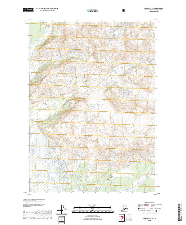
2024 Map of Cordova C-2 SW
USGS Topo · Published 2024About this map
Chugach National Forest encompasses this wilderness landscape near the Alaskan coast, defined by the soaring heights of Goat Mtn. The terrain is characterized by massive elevation shifts and the presence of the McPherson Glacier, which dominates the high northern ridges. The drainage of Sheep Creek carves through the southern half of the quadrangle, creating a complex network of wetlands and seasonal water flows. This modern survey from the U.S. Geological Survey provides a precise view of the undeveloped backcountry where human presence is largely limited to the Goat Mountain Trl, which winds across the western slopes of its namesake peak. The map captures the interface between alpine ice fields and the lower-elevation riparian corridors that define this part of the Chugach Census Area.
Find a feature on this map
10 named features on this map. Tap any name to fly to it.
Don’t see what you’re looking for? This feature index may not catch every label — zoom into the map to look around manually.
Map Details
Editions of this 2024 Cordova C-2 SW Map
This is the sole edition of this map. No revisions or reprints were ever made.
Other maps of this area

1948 · Cordova
USGS Topo · 1:250,000

1950 · Cordova B-2
USGS Topo · 1:63,360

1951 · Cordova
USGS Topo · 1:250,000

1951 · Cordova C-3
USGS Topo · 1:63,360

1952 · Cordova B-3
USGS Topo · 1:63,360

1953 · Cordova C-3
USGS Topo · 1:63,360

1953 · Cordova B-2
USGS Topo · 1:63,360

1953 · Cordova B-3
USGS Topo · 1:63,360

1959 · Cordova C-2
USGS Topo · 1:63,360

1959 · Cordova
USGS Topo · 1:250,000