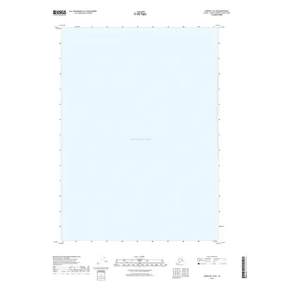
2018 Map of Cordova C-8 SW
USGS Topo · Published 2018About this map
Prince William Sound dominates this coastal survey, represented as a vast expanse of open water within the Valdez-Cordova Census Area. Unlike many terrestrial quadrangles, this map focuses almost entirely on the hydrography of the sound, providing a specialized look at the maritime geography of the Unorganized Borough. Compiled from data sources such as the National Hydrography Dataset, the sheet emphasizes the marine environment of this specific Alaskan corridor. Because the map contains no landmasses, it serves as a clean record of the sound's positioning and extent at the time of the 2018 revision.
Find a feature on this map
1 named feature on this map. Tap any name to fly to it.
Don’t see what you’re looking for? This feature index may not catch every label — zoom into the map to look around manually.
Map Details
Editions of this 2018 Cordova C-8 SW Map
This is the sole edition of this map. No revisions or reprints were ever made.
Other maps of this area

1948 · Cordova
USGS Topo · 1:250,000

1950 · Cordova C-8
USGS Topo · 1:63,360

1951 · Seward
USGS Topo · 1:250,000

1951 · Cordova
USGS Topo · 1:250,000

1951 · Seward B-1
USGS Topo · 1:63,360

1951 · Seward C-1
USGS Topo · 1:63,360

1951 · Cordova B-8
USGS Topo · 1:63,360

1952 · Seward C-1
USGS Topo · 1:63,360

1952 · Seward B-1
USGS Topo · 1:63,360

1952 · Cordova C-8
USGS Topo · 1:63,360