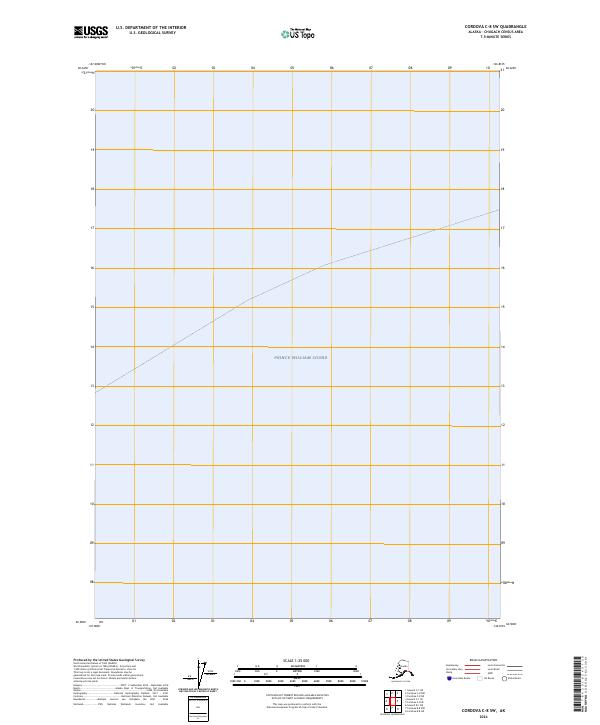
2024 Map of Cordova C-8 SW
USGS Topo · Published 2024About this map
Prince William Sound dominates this coastal maritime survey, which focuses on the expansive open waters and shoreline of Southcentral Alaska. Produced as part of the National Geospatial Program, the map highlights the nautical character of the region. The absence of terrestrial developments or inland settlements emphasizes the remote, water-based nature of this specific maritime area in the modern era. Researchers focused on coastal hydrography will find this a clear representation of the sound's contemporary boundaries and navigational expanse.
Find a feature on this map
1 named feature on this map. Tap any name to fly to it.
Don’t see what you’re looking for? This feature index may not catch every label — zoom into the map to look around manually.
Map Details
Editions of this 2024 Cordova C-8 SW Map
This is the sole edition of this map. No revisions or reprints were ever made.
Other maps of this area

1948 · Cordova
USGS Topo · 1:250,000

1950 · Cordova C-8
USGS Topo · 1:63,360

1951 · Seward
USGS Topo · 1:250,000

1951 · Cordova
USGS Topo · 1:250,000

1951 · Seward B-1
USGS Topo · 1:63,360

1951 · Seward C-1
USGS Topo · 1:63,360

1951 · Cordova B-8
USGS Topo · 1:63,360

1952 · Seward C-1
USGS Topo · 1:63,360

1952 · Seward B-1
USGS Topo · 1:63,360

1952 · Cordova C-8
USGS Topo · 1:63,360