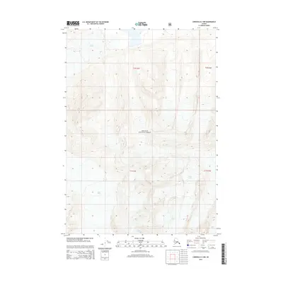
2014 Map of Cordova D-3 NW
USGS Topo · Published 2014About this map
Schwan Glacier dominates the northern reaches of this high-altitude landscape, carving its path through the frozen interior of the Chugach National Forest. This 2014 survey captures a portion of the Alaskan wilderness where the icy tongues of the Heney Glacier also extend through the deep valleys. The topographic detail, provided by the U.S. Geological Survey, uses an 80-foot contour interval to illustrate the extreme relief of the region. This map is defined by its glacial activity and absence of permanent settlements, reflecting the raw, primitive character of the Unorganized Borough during the early 21st century. The Public Land Survey System grid identifies the area within Townships 10 and 11 South, Ranges 2 and 3 East, providing a precise spatial reference for glaciologists and environmental historians tracking ice movement and forest boundaries over time.
Find a feature on this map
7 named features on this map. Tap any name to fly to it.
Don’t see what you’re looking for? This feature index may not catch every label — zoom into the map to look around manually.
Map Details
Editions of this 2014 Cordova D-3 NW Map
This is the sole edition of this map. No revisions or reprints were ever made.
Other maps of this area

1948 · Cordova
USGS Topo · 1:250,000

1950 · Valdez A-3
USGS Topo · 1:63,360

1950 · Cordova D-3
USGS Topo · 1:63,360

1951 · Cordova
USGS Topo · 1:250,000

1951 · Cordova D-4
USGS Topo · 1:63,360

1952 · Valdez
USGS Topo · 1:250,000

1953 · Cordova D-4
USGS Topo · 1:63,360

1953 · Cordova D-3
USGS Topo · 1:63,360

1953 · Valdez A-4
USGS Topo · 1:63,360

1953 · Valdez A-3
USGS Topo · 1:63,360