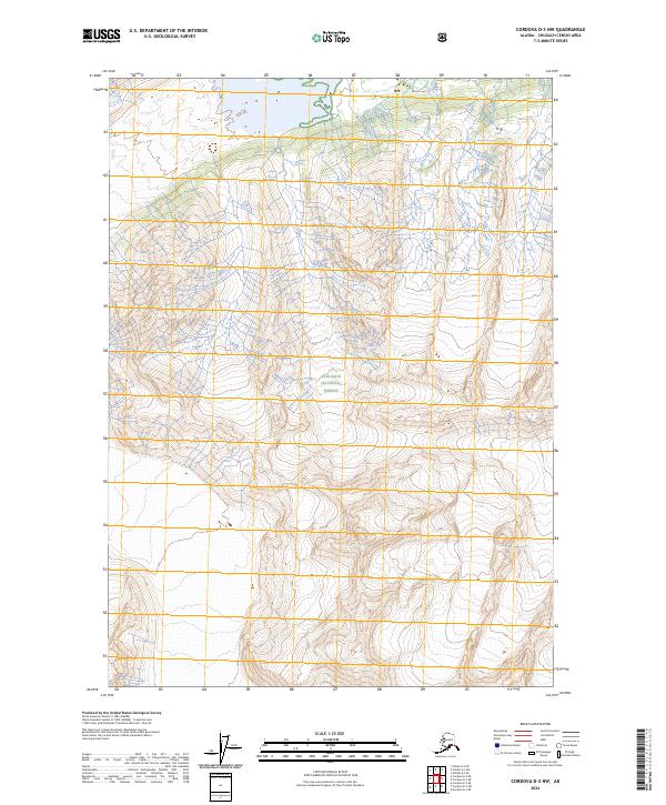
2024 Map of Cordova D-3 NW
USGS Topo · Published 2024About this map
Chugach National Forest land defines this topographic study of the Alaskan wilderness, showing a landscape of extreme vertical relief. This particular region, mapped with data from the early 20th century to the present, is marked by its lack of human infrastructure, with no roads, settlements, or named waterways recorded on the sheet. The terrain is characterized by high-elevation ridges and deep valleys, organized by the t10s r2e, t10s r3e, t11s r2e, and t11s r3e township and range lines. The lack of cultural features emphasizes the raw, natural character of the Chugach census area, where the primary interest lies in the complex contour patterns and the sheer isolation of the forest interior.
Find a feature on this map
5 named features on this map. Tap any name to fly to it.
Don’t see what you’re looking for? This feature index may not catch every label — zoom into the map to look around manually.
Map Details
Editions of this 2024 Cordova D-3 NW Map
This is the sole edition of this map. No revisions or reprints were ever made.
Other maps of this area

1948 · Cordova
USGS Topo · 1:250,000

1950 · Valdez A-3
USGS Topo · 1:63,360

1950 · Cordova D-3
USGS Topo · 1:63,360

1951 · Cordova
USGS Topo · 1:250,000

1951 · Cordova D-4
USGS Topo · 1:63,360

1952 · Valdez
USGS Topo · 1:250,000

1953 · Cordova D-4
USGS Topo · 1:63,360

1953 · Cordova D-3
USGS Topo · 1:63,360

1953 · Valdez A-4
USGS Topo · 1:63,360

1953 · Valdez A-3
USGS Topo · 1:63,360