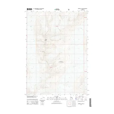
2014 Map of Cordova D-4 NE
USGS Topo · Published 2014About this map
Mount Jimmy Doolittle stands as the central topographic focal point in this 2014 survey of the Chugach National Forest. The landscape is dominated by high-altitude ice and glacial movement, with the massive Woodworth Glacier carving through the western terrain while the Schwan Glacier occupies the southeastern reaches. This map illustrates the intersection of Township 10 South and Township 11 South, providing a precise record of the natural boundaries between these vast ice fields and the surrounding peaks. The detailed contour lines reflect a wilderness environment defined entirely by glacial geography and the sheer elevation of the Chugach Range, where the absence of roads or settlements underscores the primitive state of this protected forest land.
Find a feature on this map
8 named features on this map. Tap any name to fly to it.
Don’t see what you’re looking for? This feature index may not catch every label — zoom into the map to look around manually.
Map Details
Editions of this 2014 Cordova D-4 NE Map
This is the sole edition of this map. No revisions or reprints were ever made.
Other maps of this area

1948 · Cordova
USGS Topo · 1:250,000

1950 · Valdez A-3
USGS Topo · 1:63,360

1950 · Cordova D-3
USGS Topo · 1:63,360

1951 · Cordova
USGS Topo · 1:250,000

1951 · Cordova D-4
USGS Topo · 1:63,360

1952 · Valdez
USGS Topo · 1:250,000

1953 · Cordova D-4
USGS Topo · 1:63,360

1953 · Cordova D-3
USGS Topo · 1:63,360

1953 · Valdez A-4
USGS Topo · 1:63,360

1953 · Valdez A-3
USGS Topo · 1:63,360