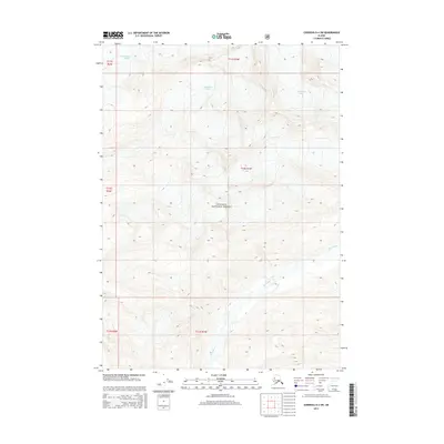
2014 Map of Cordova D-4 SW
USGS Topo · Published 2014About this map
Chugach National Forest encompasses the entirety of this Alaskan landscape, defined by dramatic glacial movement and high-altitude drainage basins. The Woodworth Glacier dominates the northern reaches of the quadrangle, with its massive ice field feeding the headwaters of several unnamed tributaries. Flowing through the southern and eastern sections, the Rude River carves a deep valley, collecting runoff from the surrounding peaks. This 2014 survey captures the topographical state of the ice and water systems at the start of the 21st century, providing a baseline for the region's environmental history within the Unorganized Borough.
Find a feature on this map
9 named features on this map. Tap any name to fly to it.
Don’t see what you’re looking for? This feature index may not catch every label — zoom into the map to look around manually.
Map Details
Editions of this 2014 Cordova D-4 SW Map
This is the sole edition of this map. No revisions or reprints were ever made.
Other maps of this area

1948 · Cordova
USGS Topo · 1:250,000

1950 · Cordova C-4
USGS Topo · 1:63,360

1950 · Cordova D-5
USGS Topo · 1:63,360

1951 · Cordova
USGS Topo · 1:250,000

1951 · Cordova C-5
USGS Topo · 1:63,360

1951 · Cordova D-4
USGS Topo · 1:63,360

1953 · Cordova D-5
USGS Topo · 1:63,360

1953 · Cordova D-4
USGS Topo · 1:63,360

1953 · Cordova C-4
USGS Topo · 1:63,360

1953 · Cordova C-5
USGS Topo · 1:63,360