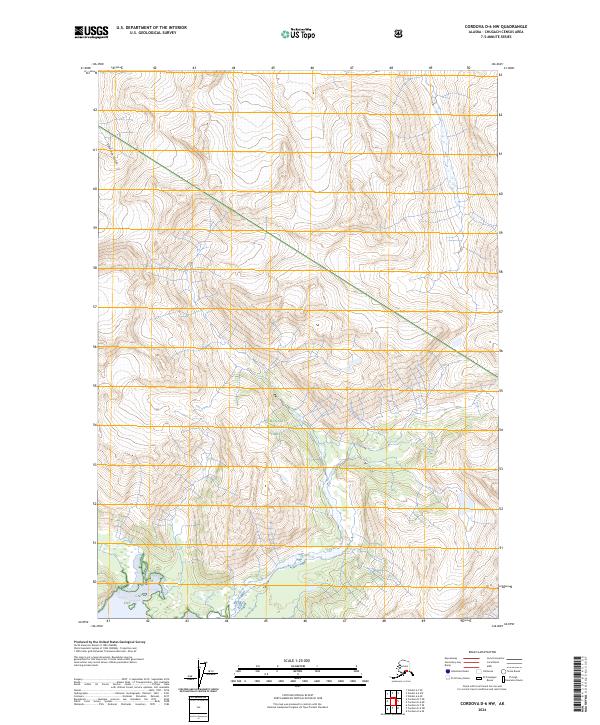
2024 Map of Cordova D-6 NW
USGS Topo · Published 2024About this map
Chugach National Forest encompasses the entirety of this high-elevation landscape in the Chugach Census Area. The terrain is defined by extreme vertical relief, with contour lines indicating a network of steep ridges and deep valleys. Solomon Gulch serves as the primary hydrological feature in the northwestern sector, carving through the mountainous interior. The absence of roads or established settlements emphasizes the primitive state of the region, where the Public Land Survey System grid lines—marking t10s r6w, t10s r5w, t11s r6w, and t11s r5w—provide the only human-imposed structure upon the wilderness. This 2024 survey reflects the preserved nature of these federal lands, primarily of interest to those studying topography or tracking land boundaries within the national forest system.
Find a feature on this map
7 named features on this map. Tap any name to fly to it.
Don’t see what you’re looking for? This feature index may not catch every label — zoom into the map to look around manually.
Map Details
Editions of this 2024 Cordova D-6 NW Map
This is the sole edition of this map. No revisions or reprints were ever made.
Other maps of this area

1948 · Cordova
USGS Topo · 1:250,000

1950 · Cordova D-7
USGS Topo · 1:63,360

1951 · Cordova
USGS Topo · 1:250,000

1951 · Cordova D-6
USGS Topo · 1:63,360

1951 · Valdez A-6
USGS Topo · 1:63,360

1952 · Valdez
USGS Topo · 1:250,000

1952 · Cordova D-7
USGS Topo · 1:63,360

1952 · Valdez A-6
USGS Topo · 1:63,360

1953 · Cordova D-6
USGS Topo · 1:63,360

1959 · Cordova
USGS Topo · 1:250,000