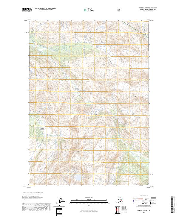
2024 Map of Cordova D-7 NE
USGS Topo · Published 2024About this map
The high alpine environment of the Chugach Mountains dominates this portion of the Chugach National Forest in south-central Alaska. This 2024 survey documents a landscape of severe relief and glacial activity, notably defined by the presence of the Silver Glacier in the southwestern quadrant. While the terrain is largely roadless, the map reveals the complex drainage patterns feeding into Solomon Gulch at the northeastern corner. The intricate contour lines illustrate the steep vertical ascent common to this region, providing a modern baseline for studying the current extent of ice fields and permanent snow pack in the Alaskan interior.
Find a feature on this map
8 named features on this map. Tap any name to fly to it.
Don’t see what you’re looking for? This feature index may not catch every label — zoom into the map to look around manually.
Map Details
Editions of this 2024 Cordova D-7 NE Map
This is the sole edition of this map. No revisions or reprints were ever made.
Other maps of this area

1948 · Cordova
USGS Topo · 1:250,000

1950 · Cordova D-7
USGS Topo · 1:63,360

1951 · Cordova
USGS Topo · 1:250,000

1951 · Cordova D-6
USGS Topo · 1:63,360

1951 · Valdez A-6
USGS Topo · 1:63,360

1952 · Valdez
USGS Topo · 1:250,000

1952 · Cordova D-7
USGS Topo · 1:63,360

1952 · Valdez A-6
USGS Topo · 1:63,360

1953 · Cordova D-6
USGS Topo · 1:63,360

1959 · Cordova
USGS Topo · 1:250,000