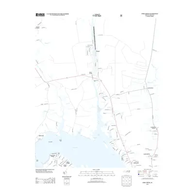
2013 Map of Core Creek
USGS Topo · Published 2013About this map
Core Creek and its neighboring coastal communities define this landscape where the Adams Cr Canal meets the wider coastal waterways. The map illustrates a high degree of maritime connectivity, featuring the Harlowe Canal and the Barge Landing Basin, reflecting the area's reliance on both natural and engineered water routes. Residential developments such as Crab Point Village, River Heights, and Deer Field Shores cluster near the banks of the Newport River and the North River, showing the modern settlement patterns of the early 21st century. Smaller named points like Lawton Point and Penn Point along with hazards like Turtle Rock and White Rock indicate a geography shaped by long-standing navigation. The presence of several distinct "Corners"—including Craven Corner and North River Corner—points to the intersection of old inland road networks with the tidewater economy.
Find a feature on this map
119 named features on this map. Tap any name to fly to it.
Don’t see what you’re looking for? This feature index may not catch every label — zoom into the map to look around manually.
Map Details
Editions of this 2013 Core Creek Map
This is the sole edition of this map. No revisions or reprints were ever made.
Other maps of this area

1949 · Beaufort
USGS Topo · 1:24,000

1949 · Merrimon
USGS Topo · 1:24,000

1949 · Newport
USGS Topo · 1:24,000

1949 · Williston
USGS Topo · 1:24,000

1949 · Harkers Island
USGS Topo · 1:24,000

1949 · South River
USGS Topo · 1:24,000

1949 · Mansfield
USGS Topo · 1:24,000

1949 · Cherry Point
USGS Topo · 1:24,000

1949 · Core Creek
USGS Topo · 1:24,000

1950 · South River
USGS Topo · 1:24,000