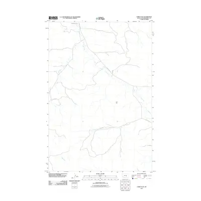
2011 Map of Corey Flat
USGS Topo · Published 2011About this map
Musselshell Cemetery sits at the northern edge of this territory, overlooking a landscape defined by the drainage patterns of the high plains. The topography is dominated by the broad expanse of Cory Flat, where the land levels out between the meandering courses of Fishel Creek and Hawk Creek. This area in Musselshell County reveals a sparse but deliberate network of rural transit, with routes like S Musselshell Rd and Hawk Creek Rd following the natural contours of the stream valleys. The placement of residential markers such as Auroria Ln and Sunset Dr indicates the modern footprint of rural life in this part of Montana, where the vastness of the prairie is interrupted only by these thin lines of human occupation and the quiet presence of the local burial grounds.
Find a feature on this map
10 named features on this map. Tap any name to fly to it.
Don’t see what you’re looking for? This feature index may not catch every label — zoom into the map to look around manually.
Map Details
Editions of this 2011 Corey Flat Map
This is the sole edition of this map. No revisions or reprints were ever made.
Other maps of this area

1954 · Forsyth
USGS Topo · 1:250,000

1954 · Roundup
USGS Topo · 1:250,000

1957 · Forsyth
USGS Topo · 1:250,000

1958 · Roundup
USGS Topo · 1:250,000

1958 · Forsyth
USGS Topo · 1:250,000

1962 · Queens Point
USGS Topo · 1:24,000

1963 · Musselshell
USGS Topo · 1:24,000

1963 · Delphia
USGS Topo · 1:24,000

1979 · Roundup
USGS Topo · 1:100,000

1979 · Melstone
USGS Topo · 1:100,000