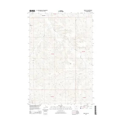
2014 Map of Corey Flat
USGS Topo · Published 2014About this map
Bull Mountains topography dominates this Musselshell County landscape, where the high plateau of Corey Flat stands as a central geographic landmark. The area is defined by a network of drainages including Hawk Creek and Fishel Creek, which carve through the elevations and dictate the placement of local thoroughfares. This 2014 survey reveals a transition from open ranges to organized rural land divisions within the t8n r29e and t8n r30e townships.
Find a feature on this map
16 named features on this map. Tap any name to fly to it.
Don’t see what you’re looking for? This feature index may not catch every label — zoom into the map to look around manually.
Map Details
Editions of this 2014 Corey Flat Map
This is the sole edition of this map. No revisions or reprints were ever made.
Other maps of this area

1954 · Forsyth
USGS Topo · 1:250,000

1954 · Roundup
USGS Topo · 1:250,000

1957 · Forsyth
USGS Topo · 1:250,000

1958 · Roundup
USGS Topo · 1:250,000

1958 · Forsyth
USGS Topo · 1:250,000

1962 · Queens Point
USGS Topo · 1:24,000

1963 · Musselshell
USGS Topo · 1:24,000

1963 · Delphia
USGS Topo · 1:24,000

1979 · Roundup
USGS Topo · 1:100,000

1979 · Melstone
USGS Topo · 1:100,000