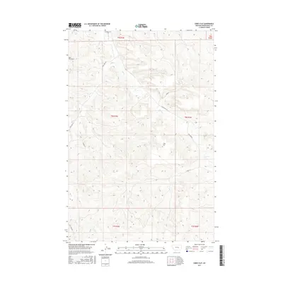
2017 Map of Corey Flat
USGS Topo · Published 2017About this map
The Bull Mountains define the high ground in this section of Musselshell County, where the landscape transitions into the eponymous Cory Flat. This 2017 survey details a network of rural routes and drainage patterns essential for navigating the complex topography of central Montana. Local history is anchored by the Musselshell Cem in the northern section, a primary point of interest for genealogists tracing family roots in the area. Water sources like Fishel Cr and Hawk Cr wind through the valleys, dictating the placement of roads such as Fishel Creek Rd and Hawk Creek Rd. The map illustrates a contemporary pattern of land use where residential lanes like Aurora Ln and Sunset Dr interface with established thoroughfares like S Musselshell Rd.
Find a feature on this map
17 named features on this map. Tap any name to fly to it.
Don’t see what you’re looking for? This feature index may not catch every label — zoom into the map to look around manually.
Map Details
Editions of this 2017 Corey Flat Map
This is the sole edition of this map. No revisions or reprints were ever made.
Other maps of this area

1954 · Forsyth
USGS Topo · 1:250,000

1954 · Roundup
USGS Topo · 1:250,000

1957 · Forsyth
USGS Topo · 1:250,000

1958 · Roundup
USGS Topo · 1:250,000

1958 · Forsyth
USGS Topo · 1:250,000

1962 · Queens Point
USGS Topo · 1:24,000

1963 · Musselshell
USGS Topo · 1:24,000

1963 · Delphia
USGS Topo · 1:24,000

1979 · Roundup
USGS Topo · 1:100,000

1979 · Melstone
USGS Topo · 1:100,000