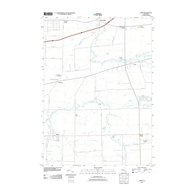
2010 Map of Corfu
USGS Topo · Published 2010About this map
Alden and Corfu anchor this survey of western New York, which documents a landscape defined by its network of creeks and small settlements. The area is intersected by numerous watercourses including Murder Creek, Ellicott Creek, and Elevenmile Creek, which flow through a grid of rural roads such as County Line Rd and Seven Day Rd. For genealogists, the map is particularly detailed in its marking of burial grounds, from the Old Buffalo Road Cemetery in the northeast to Our Lady of Good Counsel Cemetery near Darien Center. Settlements like Crittenden, Fargo, and Pembroke are shown in their early 21st-century configuration, surrounded by agricultural land and woodlots. Significant local landmarks include Brick House Corners and Murrays Corner, while the presence of the Railroad St in Alden points to the community's historical connection to rail infrastructure.
Find a feature on this map
51 named features on this map. Tap any name to fly to it.
Don’t see what you’re looking for? This feature index may not catch every label — zoom into the map to look around manually.
Map Details
Editions of this 2010 Corfu Map
This is the sole edition of this map. No revisions or reprints were ever made.
Other maps of this area

1897 · Medina
USGS Topo · 1:62,500

1897 · Lockport
USGS Topo · 1:62,500

1899 · Niagara
USGS Topo · 1:125,000

1902 · Lockport
USGS Topo · 1:62,500

1905 · Attica
USGS Topo · 1:62,500

1905 · Depew
USGS Topo · 1:62,500

1905 · Lockport
USGS Topo · 1:62,500

1944 · Alexander
USGS Topo · 1:31,680

1948 · Depew
USGS Topo · 1:62,500

1948 · Lockport
USGS Topo · 1:62,500