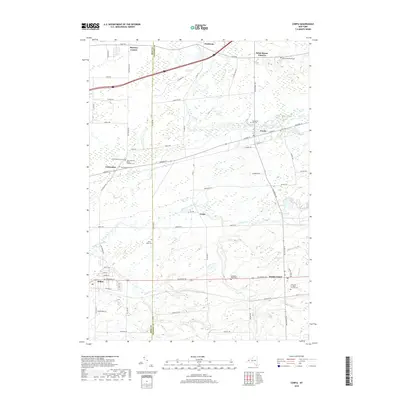
2019 Map of Corfu
USGS Topo · Published 2019About this map
The village of Alden and the village of Corfu anchor this detailed landscape along the boundary of Erie and Genesee Counties. The geography is defined by a dense network of country roads and waterways, including the winding paths of Murder Creek, Ellicott Creek, and Elevenmile Creek. Numerous small communities and rural intersections such as Crittenden, Fargo, and Brick House Corners suggest the historic settlement patterns of the late 19th and early 20th centuries, many still centered around local transit routes like Genesee St and Main Rd.
Find a feature on this map
76 named features on this map. Tap any name to fly to it.
Don’t see what you’re looking for? This feature index may not catch every label — zoom into the map to look around manually.
Map Details
Editions of this 2019 Corfu Map
This is the sole edition of this map. No revisions or reprints were ever made.
Other maps of this area

1897 · Medina
USGS Topo · 1:62,500

1897 · Lockport
USGS Topo · 1:62,500

1899 · Niagara
USGS Topo · 1:125,000

1902 · Lockport
USGS Topo · 1:62,500

1905 · Attica
USGS Topo · 1:62,500

1905 · Depew
USGS Topo · 1:62,500

1905 · Lockport
USGS Topo · 1:62,500

1944 · Alexander
USGS Topo · 1:31,680

1948 · Depew
USGS Topo · 1:62,500

1948 · Lockport
USGS Topo · 1:62,500