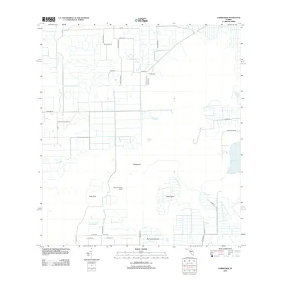
2012 Map of Corkscrew
USGS Topo · Published 2012About this map
Corkscrew and its surrounding wetlands define this portion of Collier County, where the transition from agriculture to residential development is visible through a grid of rural lanes and remote airstrips. The landscape is characterized by prominent high points amidst the marshy terrain, such as Big Corkscrew Island, Eagle Island, and Hogan Island, which represent historical focal points in an area traditionally defined by its seasonal water levels. To the east, the waters of Lake Trafford mark a significant hydrological feature of the region. Transportation in this era is a mix of established routes like Corkscrew Rd and specialized infrastructure like the Corkscrew Trace Airport. The presence of names like Oil Grade Rd points to the region's history of extraction and industry, while a network of minor roads like Mulholland Dr and Katydid Ln suggests the parceling of land for rural residential use.
Find a feature on this map
33 named features on this map. Tap any name to fly to it.
Don’t see what you’re looking for? This feature index may not catch every label — zoom into the map to look around manually.
Map Details
Editions of this 2012 Corkscrew Map
This is the sole edition of this map. No revisions or reprints were ever made.
Other maps of this area

1956 · West Palm Beach
USGS Topo · 1:250,000

1957 · West Palm Beach
USGS Topo · 1:250,000

1958 · West Palm Beach
USGS Topo · 1:250,000

1958 · Corkscrew SE
USGS Topo · 1:24,000

1958 · Corkscrew NW
USGS Topo · 1:24,000

1958 · Immokalee
USGS Topo · 1:24,000

1958 · Felda
USGS Topo · 1:24,000

1958 · Immokalee SW
USGS Topo · 1:24,000

1958 · Alva SW
USGS Topo · 1:24,000

1958 · Corkscrew SW
USGS Topo · 1:24,000