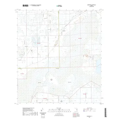
2021 Map of Corkscrew
USGS Topo · Published 2021About this map
Corkscrew stands as a focal point in this 2021 landscape, where the flat, wet expanses of Collier County are defined by a network of drainage and isolated high ground. The southern reaches of the map are dominated by the Corkscrew Swamp and Horseshoe Marsh, punctuated by numerous named hammocks or "islands" such as Big Corkscrew Island, Little Corkscrew Island, and Hogan Island. These features reflect the traditional topography of the Everglades fringe, where subtle elevation changes dictate the character of the vegetation and human activity.
Find a feature on this map
40 named features on this map. Tap any name to fly to it.
Don’t see what you’re looking for? This feature index may not catch every label — zoom into the map to look around manually.
Map Details
Editions of this 2021 Corkscrew Map
This is the sole edition of this map. No revisions or reprints were ever made.
Other maps of this area

1956 · West Palm Beach
USGS Topo · 1:250,000

1957 · West Palm Beach
USGS Topo · 1:250,000

1958 · West Palm Beach
USGS Topo · 1:250,000

1958 · Corkscrew SE
USGS Topo · 1:24,000

1958 · Corkscrew NW
USGS Topo · 1:24,000

1958 · Immokalee
USGS Topo · 1:24,000

1958 · Felda
USGS Topo · 1:24,000

1958 · Immokalee SW
USGS Topo · 1:24,000

1958 · Alva SW
USGS Topo · 1:24,000

1958 · Corkscrew SW
USGS Topo · 1:24,000