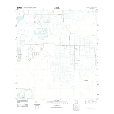
2012 Map of Corkscrew NW
USGS Topo · Published 2012About this map
Panther Island sits at the heart of this landscape, anchoring a region defined by the transition from agricultural tracts to structured suburban developments. The map reveals a grid of rural farm roads, such as Six Ls Farm Rd and Burgundy Farms Rd, which serve large, rectangular land parcels in the eastern half of the quadrangle. This layout reflects the area's agricultural roots and its reliance on a clear, functional road network to manage the low-lying terrain typical of Southwest Florida.
Find a feature on this map
40 named features on this map. Tap any name to fly to it.
Don’t see what you’re looking for? This feature index may not catch every label — zoom into the map to look around manually.
Map Details
Editions of this 2012 Corkscrew NW Map
This is the sole edition of this map. No revisions or reprints were ever made.
Other maps of this area

1956 · West Palm Beach
USGS Topo · 1:250,000

1957 · West Palm Beach
USGS Topo · 1:250,000

1958 · West Palm Beach
USGS Topo · 1:250,000

1958 · Corkscrew SE
USGS Topo · 1:24,000

1958 · Bonita Springs
USGS Topo · 1:24,000

1958 · Corkscrew NW
USGS Topo · 1:24,000

1958 · Estero
USGS Topo · 1:24,000

1958 · Alva SW
USGS Topo · 1:24,000

1958 · Corkscrew SW
USGS Topo · 1:24,000

1958 · Alva SE
USGS Topo · 1:24,000