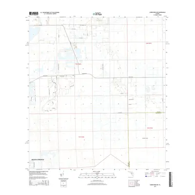
2015 Map of Corkscrew NW
USGS Topo · Published 2015About this map
Bonita Springs expands into the low-lying landscapes of Lee County in this 2015 survey, where modern residential developments meet the remaining wetlands of Southwest Florida. The map illustrates a transitional geography, where planned communities such as Wildcat Run and Bella Terra are etched into the terrain north of the Lee Co Collier Co boundary. These neighborhoods are defined by intricate street patterns like Torre Del Lago St and Barletta Ln, often situated adjacent to drainage features and small water bodies. To the east, the environment shifts toward more rural and agricultural uses, represented by Burgundy Farms Rd and Glades Farm Rd. The southern portion of the sheet is dominated by the natural extent of Panther Island, a significant landscape feature that stands in contrast to the engineered corridors of Corkscrew Rd and Alico Rd that facilitate the region's growth.
Find a feature on this map
34 named features on this map. Tap any name to fly to it.
Don’t see what you’re looking for? This feature index may not catch every label — zoom into the map to look around manually.
Map Details
Editions of this 2015 Corkscrew NW Map
This is the sole edition of this map. No revisions or reprints were ever made.
Other maps of this area

1956 · West Palm Beach
USGS Topo · 1:250,000

1957 · West Palm Beach
USGS Topo · 1:250,000

1958 · West Palm Beach
USGS Topo · 1:250,000

1958 · Corkscrew SE
USGS Topo · 1:24,000

1958 · Bonita Springs
USGS Topo · 1:24,000

1958 · Corkscrew NW
USGS Topo · 1:24,000

1958 · Estero
USGS Topo · 1:24,000

1958 · Alva SW
USGS Topo · 1:24,000

1958 · Corkscrew SW
USGS Topo · 1:24,000

1958 · Alva SE
USGS Topo · 1:24,000